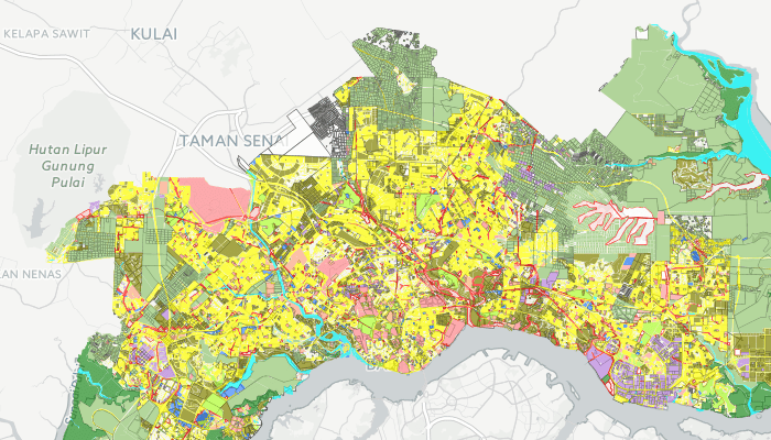
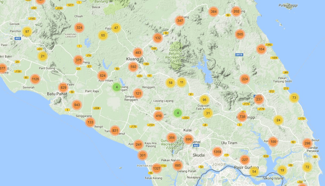
This map contains information on zoning and land use proposals, which have been set up based on development plans by districts in the State of Johor.
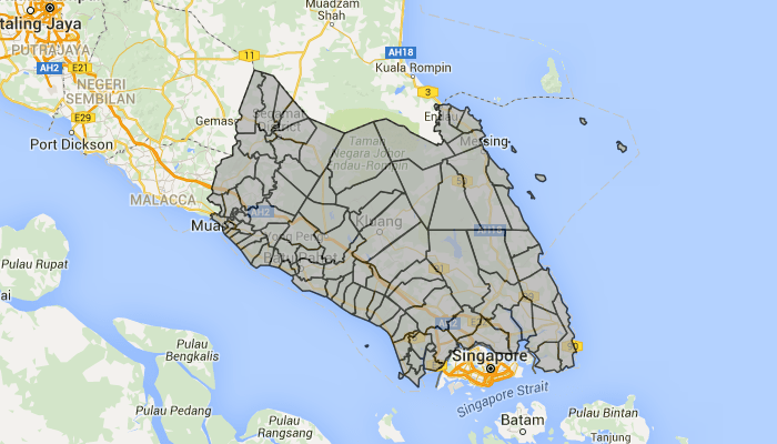
Administrative Boundary Map for Districts, Mukim, Local Authority, State Legislative Assembly and Parliament in State of Johor
Educational Facilities Maps displays educational location information in the State of Johor.
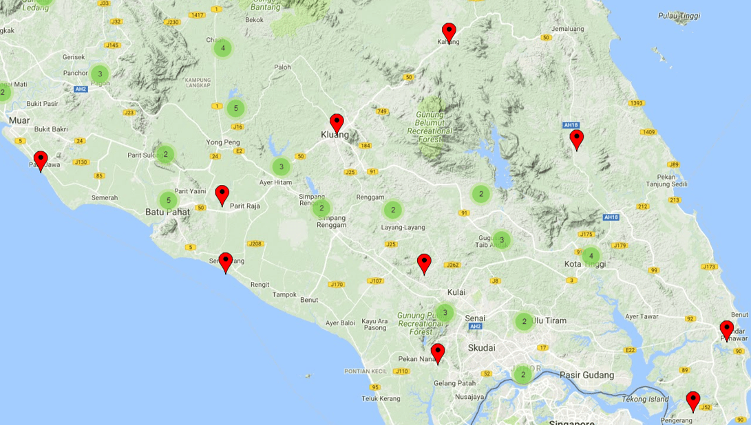
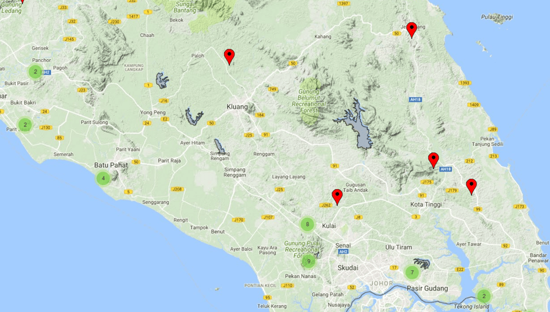
Map of Religious Facilities displaying religious location information in the State of Johor.
Map of cemetery displays information on the location of Islamic cemetery, Chinese cemetery, Indian and Christian Cemetery in the State of Johor.
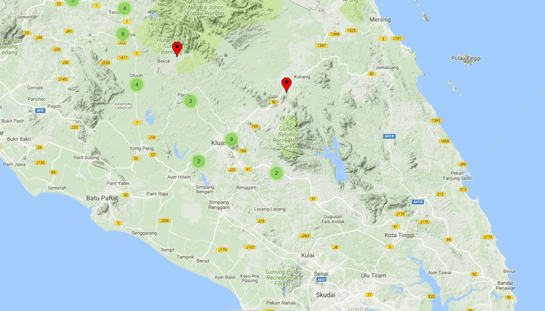
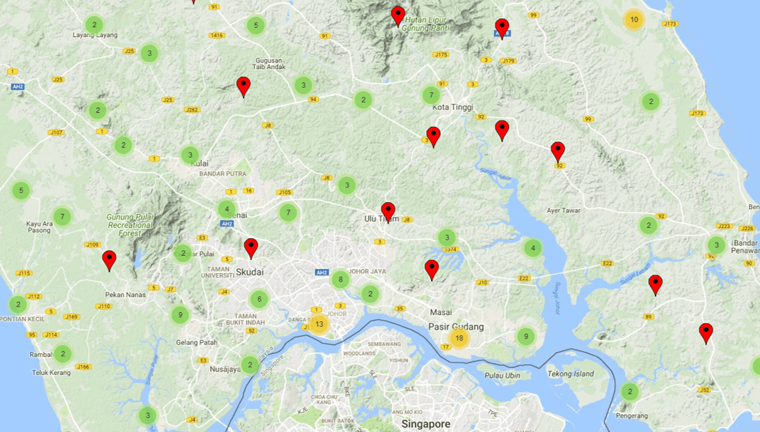
Public Amenities Maps display information on public facilities in the State of Johor
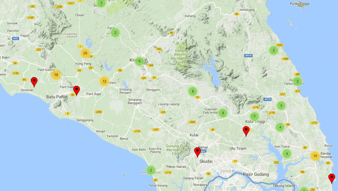
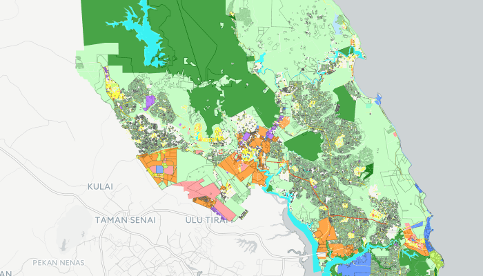
Recreational Maps display location for various recreational facilities in the State of Johor.
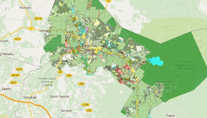
This module presents a data layer for PLANMalaysia@Johor which contains current land use data, land use and charting information for planning permission application in the State of Johor.
The module display locations for dams, underground water station, water stations, air stations river station and EIA report for 2009-2010.
The modules display location for the flood siren stations dan telemetry ststions in the State of Johor.
The modules display the location of the dam and the location of the quarry for the State of Johor.
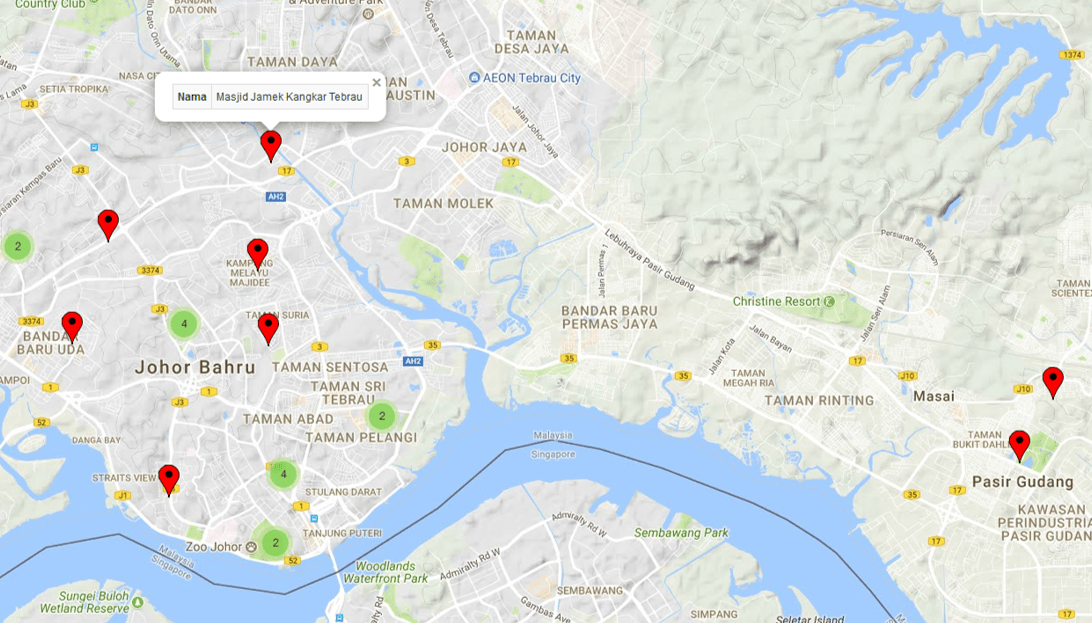
The Johor Religious Council module displays the location of the mosque in the state of Johor.
The Departmental of Works Module displays state and federal bridge location information, road signage, length and type of culvert and state and federal ‘Post’ in the state of Johor.
The Malaysia Royal Police Module displays the information and location the police stationin state of Johor.
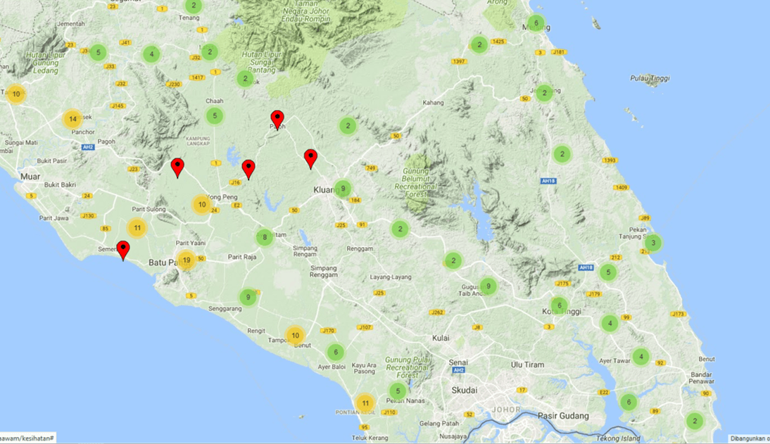
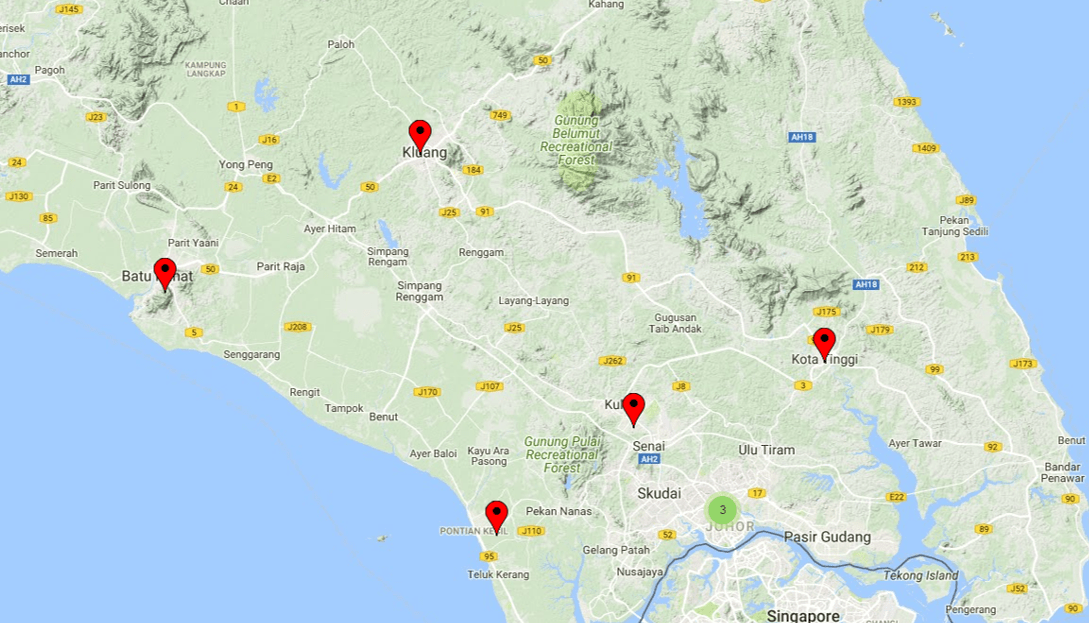
This module displays the location of agricultural projects and training centers in the state of Johor.
The modul displays information on primary and secondary school locations in state of Johor.
591611
Visitor Count
2883
This Month
2538
This Week
335
Today
 GeoJohor